News
Port of SD offers New Web Mapping Application
CONTACT : Brianne Mundy Page, 619.348.1518, bpage@portofsandiego.orgThumbnail
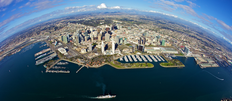
The San Diego Ocean Planning Partnership has released an interactive, user-friendly Web Mapping Application that is designed to help users better understand the dynamic ocean space and ocean-related data offshore San Diego County.
The Web Mapping Application, organized by research and activities related to commerce, navigation, fisheries, recreation, and environmental stewardship, offers an array of spatially-referenced datasets from public sources, like government agencies and academic institutions. It is accompanied by a user guide, a quick-start guide, and a brief webinar so that anyone interested in learning more about this ocean space can easily use and understand it.
The San Diego Ocean Planning Partnership is a collaborative pilot project between the California State Lands Commission and the Port of San Diego. The pilot project is guided by public and stakeholder input, best available science, and available data. In late 2018, the partnership finalized the Preliminary Assessment Report, which summarizes public and stakeholder input on how the ocean space is used, challenges with those uses, and suggestions on how to best manage the ocean planning process. To access the Web Mapping Application, read the Preliminary Assessment Report and learn more about the partnership, go to sdoceanplanning.org.
About the California State Lands Commission
The Commission manages 4 million acres of tide and submerged lands and the beds of navigable rivers, streams, lakes, bays, estuaries, inlets, and straits. These lands, often referred to as sovereign or Public Trust lands, stretch from the Klamath River and Goose Lake in the north to the Tijuana Estuary in the south, and the Colorado River in the east, and from the Pacific Coast 3 miles offshore in the west to world-famous Lake Tahoe, and includes California’s two longest rivers, the Sacramento and San Joaquin. The Commission also protects state waters from oil spills and invasive species introductions.